Valued datasets
The datasets valued below are proposed by the editorial committee and come from the Recherche Data Gouv repository.
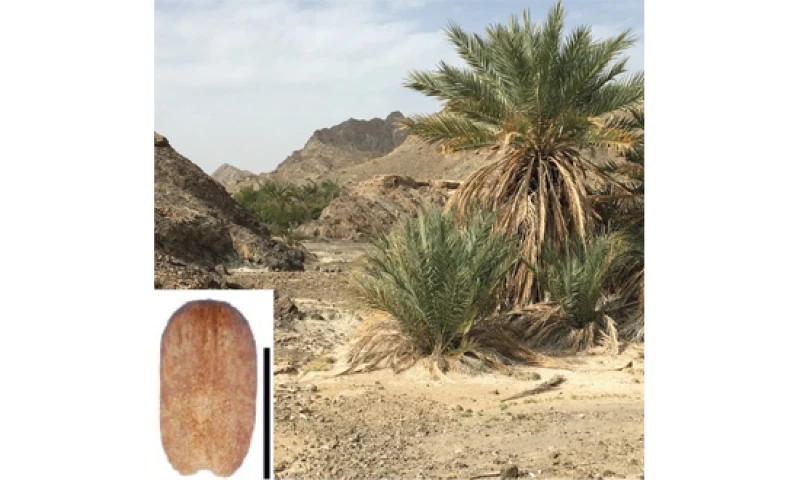
Origins and evolution of oasis agriculture in the Sahara: morphometric measurements of archaeological and modern date palm seeds
Studying the evolution of seed shapes helps us to understand where, when and how date palm cultivation developed over time.
Published on Monday 29 April 2024
Discover the valued dataset
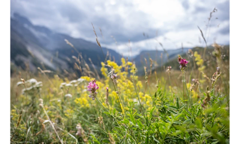
BEE : French vs climate change
Explore what French population think about climate change and ecology.
Published on Wednesday 13 March 2024
Discover the valued dataset
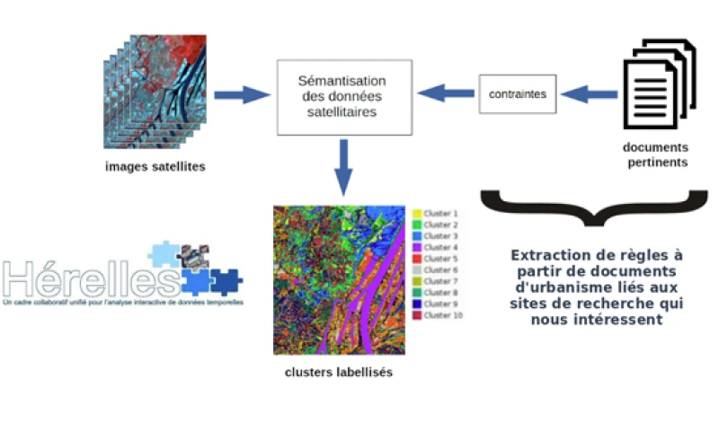
LUPAN, the First French Corpus for Land Artificialization Management
Explore how LUPAN is revolutionizing urban management through the integration of regulatory text analysis and satellite data.
Published on Tuesday 05 March 2024
Discover the valued dataset
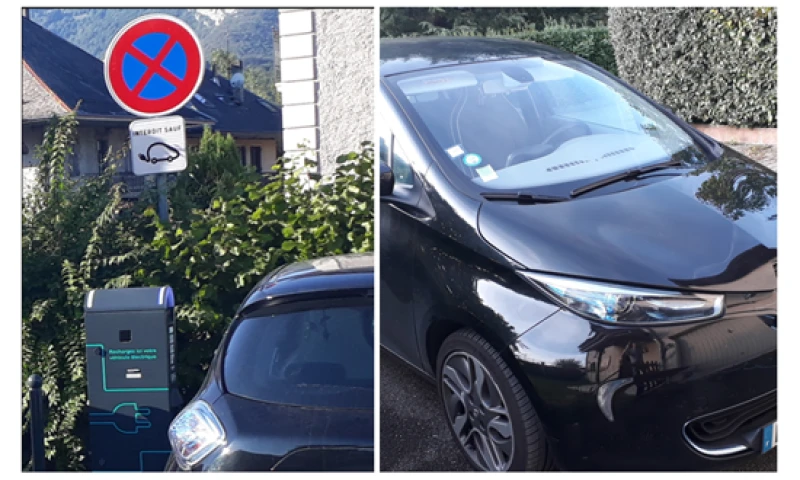
Electric Vehicle Enquiry (EVE) Pilot
3-year operational data from a single electric car.
Published on Monday 04 March 2024
Discover the valued dataset
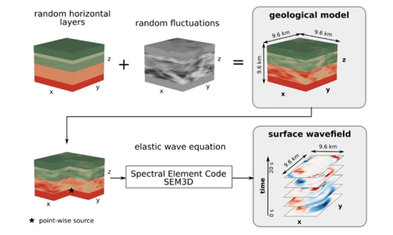
HEterogeneous Materials and Elastic Waves in 3 Dimensions (HEMEW-3D)
Simulations of seismic wave propagation to predict earthquake-induced ground motion.
Published on Monday 04 March 2024
Discover the valued dataset
46 - 50 sur 99 publications