Valued datasets
The datasets valued below are proposed by the editorial committee and come from the Recherche Data Gouv repository.
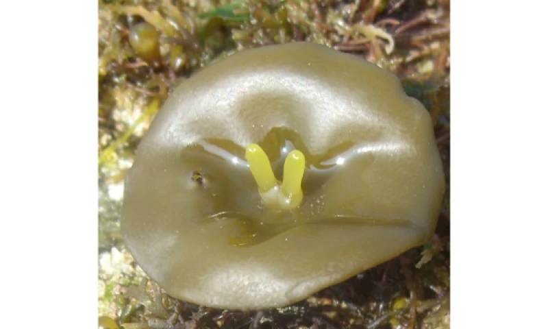
Evolutionary genomics of the emergence of brown algae as key components of coastal ecosystems
Brown algae, vital to our coastal ecosystems, are the focus of attention with the study of 60 new genomes.
Published on Friday 04 October 2024
Discover the valued dataset
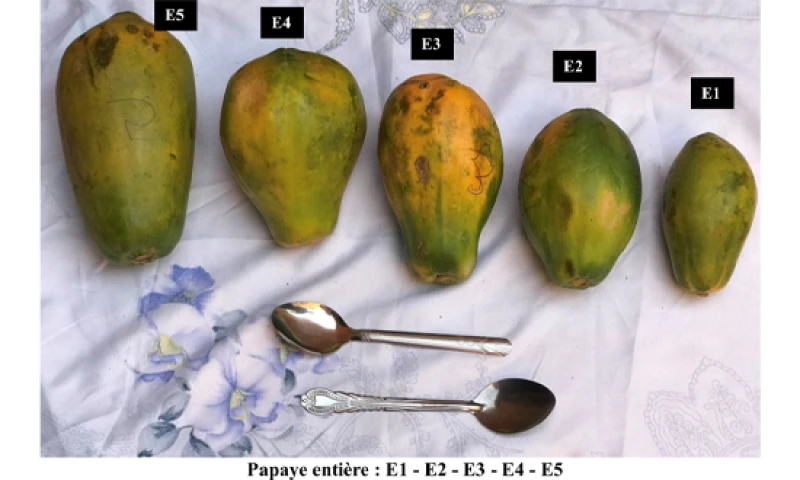
Photographic atlases of food portion sizes consumed in Ouagadougou (Burkina Faso) and Niamey (Niger) and calibrated household utensils
The challenge is even higher when estimating the food portion size eaten by 2-year-old children in the previous day.
Published on Thursday 03 October 2024
Discover the valued dataset
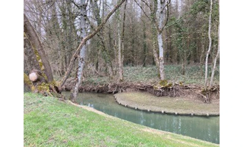
Dataset on the environmental and social preferences of the local population of Vittel (France) during recreational activities
Influence of water quality protection measures on the recreational preferences of the local population in the Vittel basin.
Published on Thursday 26 September 2024
Discover the valued dataset
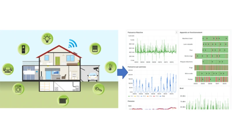
ExpeSmartHouse
Multidisciplinary data from a connected home since 2019
Published on Tuesday 24 September 2024
Discover the valued dataset
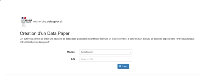
Survey of Scientits’ data paper publication pratices
Discover the ecosystem’s data paper publication pratices and the generation tool available in the Recherche Data Gouv repository
Published on Wednesday 18 September 2024
Discover the valued dataset
36 - 40 sur 99 publications